
File:Geographic Map of Mexico.jpg
From EverybodyWiki Bios & Wiki
Size of this preview: 800 × 564 pixels. Other resolutions: 320 × 226 pixels | 640 × 451 pixels | 1,024 × 722 pixels.
Original file (1,024 × 722 pixels, file size: 455 KB, MIME type: image/jpeg)
Summary
| Description |
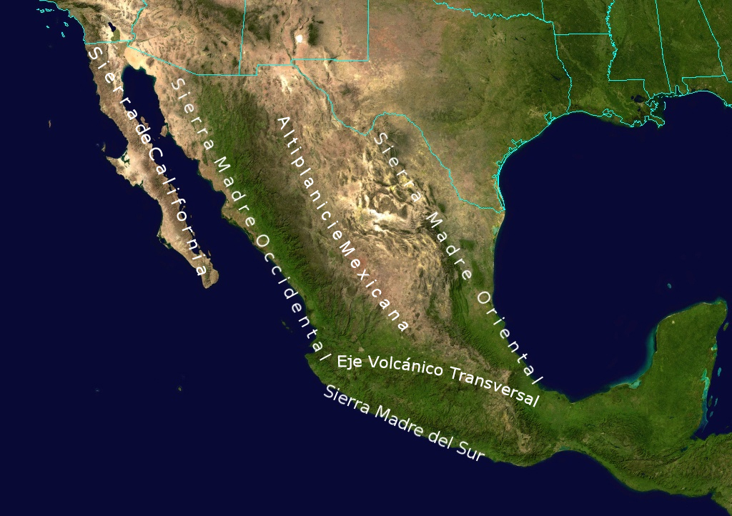
English: Topological Map labeling the most important elevations of the country |
| Date | |
| Source | NASA |
| Author | NASA - derivative work by Ricraider |
Licensing

|
This file is in the public domain in the United States because it was solely created by NASA. NASA copyright policy states that "NASA material is not protected by copyright unless noted". (See Template:PD-USGov, NASA copyright policy page or JPL Image Use Policy.) |  |
 |
Warnings:
|
Original upload log
The original description page was here. All following user names refer to en.wikipedia.
- 2010-08-24 02:05 Ricraider 1024×722× (465741 bytes) {{Information |Description = Topological Map labeling the most important elevations of the country |Source = NASA |Date = 8-23-10 |Author = ricraider |Permission = |other_versions = }}
File history
Click on a date/time to view the file as it appeared at that time.
| Date/Time | Thumbnail | Dimensions | User | Comment | |
|---|---|---|---|---|---|
| current | 09:02, 21 December 2012 | | 1,024 × 722 (455 KB) | wikimediacommons>Urdangaray | {{Information |Description={{en|Topological Map labeling the most important elevations of the country}} |Source=Transferred from [http://en.wikipedia.org en.wikipedia]<br/> (Original text : ''NASA'') |Date=8-23-10<br/> ({{Original upload date|2010-08-2... |
File usage
The following 4 pages use this file:


