File:IranTehran.png
From EverybodyWiki Bios & Wiki
Size of this preview: 648 × 599 pixels. Other resolutions: 260 × 240 pixels | 519 × 480 pixels | 879 × 813 pixels.
Original file (879 × 813 pixels, file size: 25 KB, MIME type: image/png)

|
Permission is granted to copy, distribute and/or modify this document under the terms of the GNU Free Documentation License, Version 1.2 or any later version published by the Free Software Foundation; with no Invariant Sections, no Front-Cover Texts, and no Back-Cover Texts. A copy of the license is included in the section entitled GNU Free Documentation License. |
| This file is licensed under the Creative Commons Attribution-Share Alike 3.0 Unported license. | ||
| ||
| This licensing tag was added to this file as part of the GFDL licensing update. |

|
This file has been superseded by IranTehran-SVG.svg. It is recommended to use the other file. Please note that deleting superseded images requires consensus.
|

|
| Description |
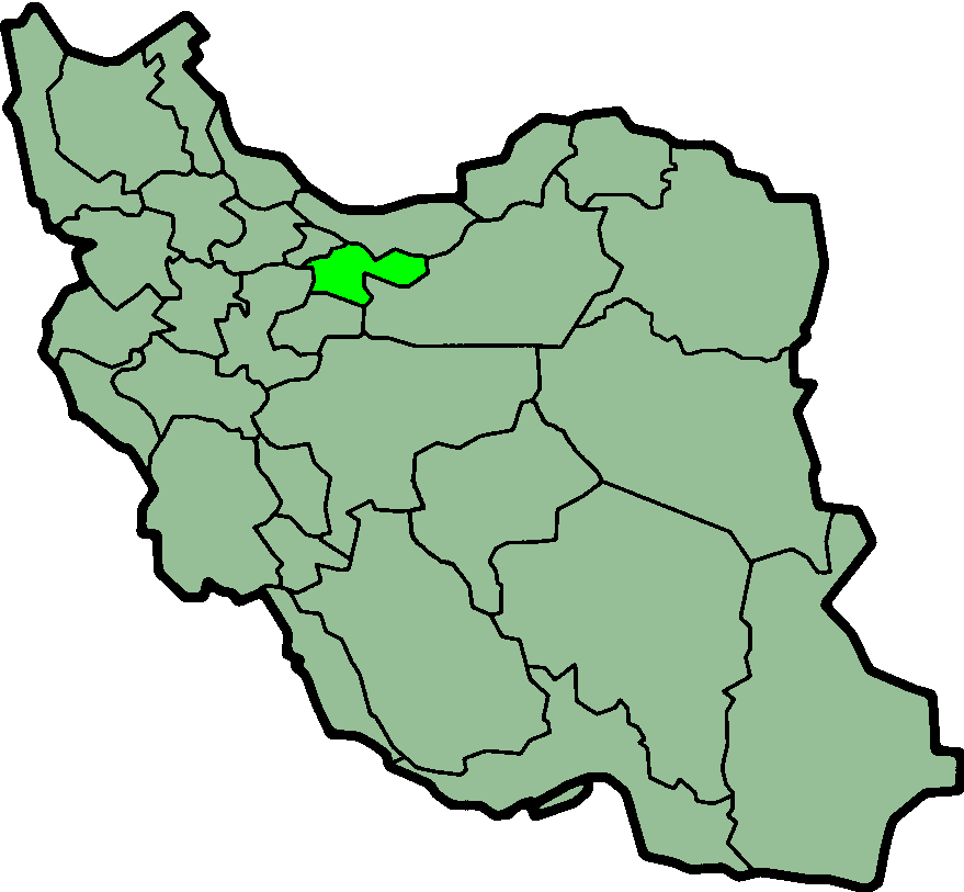
Province of Tehran, Iran Deutsch: Lage der Provinz Teheran im Iran
Nederlands: Locatie van Tehran |
| Date | (UTC) |
| Source | http://en.wikipedia.org/wiki/Image:IranTehran.png |
| Author | Morven |
| Permission (Reusing this file) |
GFDL |
| Annotations | This image is annotated: View the annotations at Commons |
File history
Click on a date/time to view the file as it appeared at that time.
| Date/Time | Thumbnail | Dimensions | User | Comment | |
|---|---|---|---|---|---|
| current | 00:18, 24 June 2013 | | 879 × 813 (25 KB) | wikimediacommons>BasilLeaf | بروزرسانی مرز بین استانهای یزد و خراسان جنوبی، تهران و البرز، فارس و یزد و اصفهان |
File usage
The following 25 pages use this file:
- Absard Rangeland Research Centre
- Azizabad, Varamin
- Bahari Husbandry
- Firuzkuh Industrial Centre
- Heydari Poultry Company
- Kabudband
- Kamard Industrial Complex
- Karkhaneh-ye Maseh
- Mazraeh-ye Karim Khani
- Mazraeh-ye Razeqabad
- Mazraeh-ye Sadat
- Mohammadiyeh, Tehran
- Navheh Division
- Rajabi Kia Poultry Company
- Rayhan Agricultural Centre
- Sand Mining Complex
- Tellow-e Pain
- Template:Damavand-geo-stub
- Template:Firuzkuh-geo-stub
- Template:Pakdasht-geo-stub
- Template:Qods-geo-stub
- Template:RobatKarim-geo-stub
- Template:Shemiranat-geo-stub
- Template:TehranCounty-geo-stub
- Template:Varamin-geo-stub