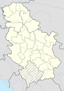
Stara Pazova Airport
From EverybodyWiki Bios & Wiki
Stara Pazova Airport Aerodrom Stara Pazova | |||||||||||
|---|---|---|---|---|---|---|---|---|---|---|---|
| Summary | |||||||||||
| Airport type | Civil | ||||||||||
| Location | Stara Pazova | ||||||||||
| Elevation AMSL | 253 ft / 77 m | ||||||||||
| Coordinates | 44°58′34.44″N 20°07′45.90″E / 44.9762333°N 20.1294167°ECoordinates: 44°58′34.44″N 20°07′45.90″E / 44.9762333°N 20.1294167°E ⧼validator-fatal-error⧽ | ||||||||||
| Map | |||||||||||
| Runways | |||||||||||
| |||||||||||
Stara Pazova Airport, also known as Čmelik Airport, is an airport on about 4–5 km of road Stara Pazova-Golubinci. Mostly used by pilot of ultra light planes and engine powered kites.
| This article about an airport in Serbia is a stub. You can help EverybodyWiki by expanding it. |
This article "Stara Pazova Airport" is from Wikipedia. The list of its authors can be seen in its historical and/or the page Edithistory:Stara Pazova Airport. Articles copied from Draft Namespace on Wikipedia could be seen on the Draft Namespace of Wikipedia and not main one.

