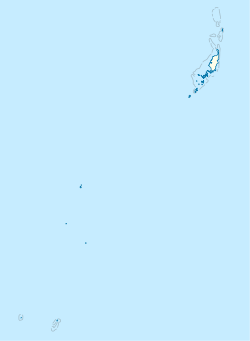
Orukei
From EverybodyWiki Bios & Wiki
Orukei | |
|---|---|
Village | |
| Coordinates: 8°5′10″N 134°42′59″E / 8.08611°N 134.71639°E ⧼validator-fatal-error⧽ | |
| Area | |
| • Total | 0.64 km2 (0.25 sq mi) |
| Elevation | 2 m (7 ft) |
Orukei is a village on the west coast of the island of Ngajangel, Kayangel, Palau.[1][2]
References[edit]
- ↑ "Google Earth". earth.google.com. Retrieved 2020-09-22.
- ↑ "Orukei, Kayangel, Palau Three Day Weather Forecast". AccuWeather. Unknown parameter
|url-status=ignored (help)
| This Palau location article is a stub. You can help EverybodyWiki by expanding it. |
This article "Orukei" is from Wikipedia. The list of its authors can be seen in its historical and/or the page Edithistory:Orukei. Articles copied from Draft Namespace on Wikipedia could be seen on the Draft Namespace of Wikipedia and not main one.

