Talagang District
Script error: No such module "Draft topics".
Script error: No such module "AfC topic".
Talagang District | |
|---|---|
 Map of Talagang District | |
| Coordinates: 32°55′40″N 72°24′40″E / 32.92778°N 72.41111°ECoordinates: 32°55′40″N 72°24′40″E / 32.92778°N 72.41111°E ⧼validator-fatal-error⧽ | |
| Country | Pakistan |
| Province | Punjab |
| Division | Rawalpindi Division |
| Established | 14 October 2022 |
| Government | |
| • Type | District Administration |
| Population | |
| • Total | 401,986 |
| Time zone | UTC+5 (PST) |
| • Summer (DST) | UTC+6 (PDT) |
| Post code | 48100 |
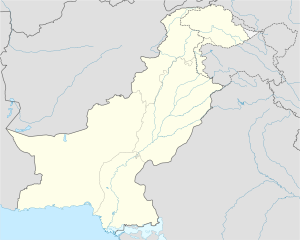
Talagang District (Urdu/Punjabi: ضلع تلہ گنگ) is a district of Rawalpindi Division in Pothohar Plateau of Punjab, Pakistan. It is located in the north of the Punjab province. Talagang district is bordered by Khushab to its south, Attock to its north, Chakwal to its east, an Mianwali to its west. The district was created out of part of Chakwal on 13 October 2022.[2] It was created after four new districts were created alongside Talagang.[3]
References[edit]
This article "Talagang District" is from Wikipedia. The list of its authors can be seen in its historical and/or the page Edithistory:Talagang District. Articles copied from Draft Namespace on Wikipedia could be seen on the Draft Namespace of Wikipedia and not main one.

|
This page exists already on Wikipedia. |


