File:USA Kentucky location map.svg
From EverybodyWiki Bios & Wiki

Size of this PNG preview of this SVG file: 800 × 520 pixels. Other resolutions: 320 × 208 pixels | 640 × 416 pixels | 1,024 × 666 pixels | 1,280 × 832 pixels | 2,560 × 1,665 pixels | 1,501 × 976 pixels.
Original file (SVG file, nominally 1,501 × 976 pixels, file size: 823 KB)
Summary
| Description |
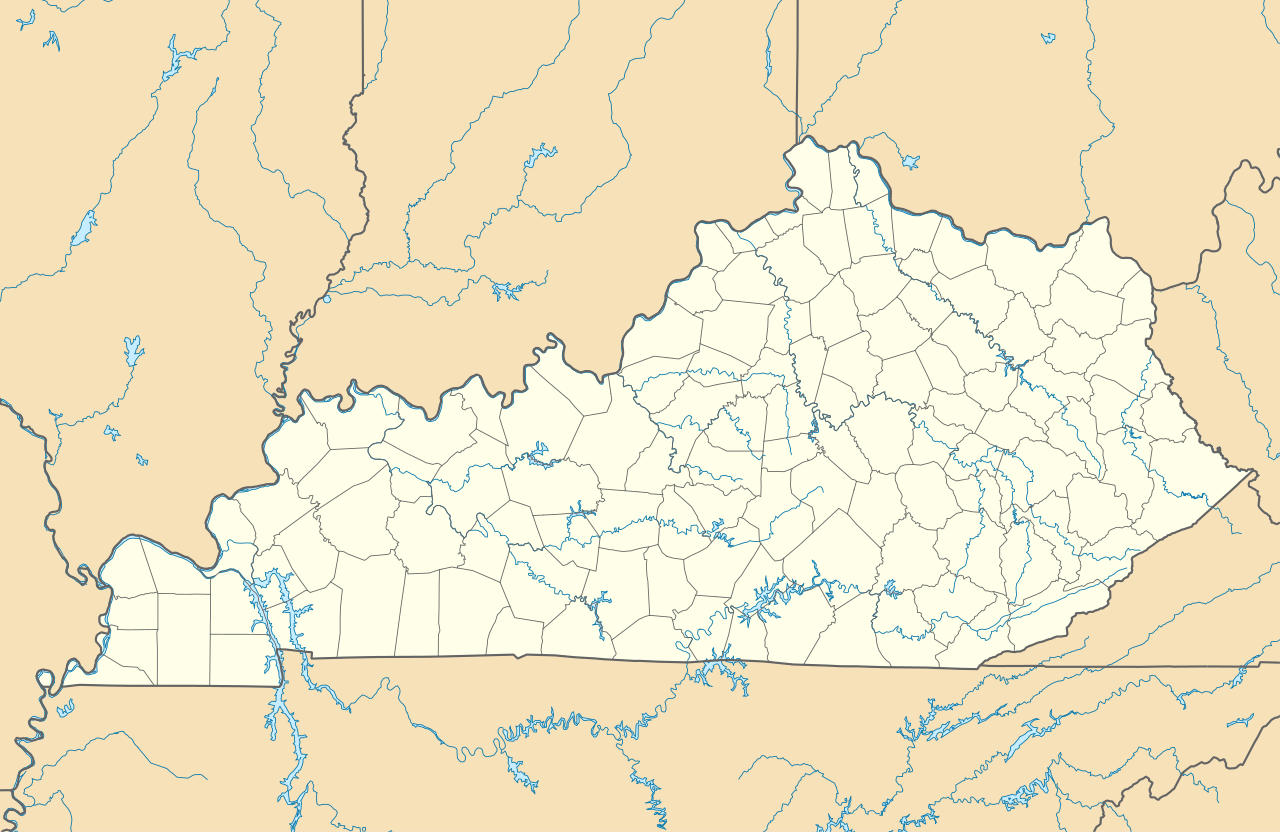
Quadratische Plattkarte, N-S-Streckung 130.0 %. Geographische Begrenzung der Karte:
Equirectangular projection, N/S stretching 130.0 %. Geographic limits of the map:
|
| Date | |
| Source | Own work |
| Author | Alexrk2 |
| Other versions |
Derivative works of this file: BMO Harris Bank 2012-06.png Derivative works of this file: |

|
This map has been made or improved in the German Kartenwerkstatt (Map Lab). You can propose maps to improve as well.
|
Licensing
I, the copyright holder of this work, hereby publish it under the following licenses:

|
Permission is granted to copy, distribute and/or modify this document under the terms of the GNU Free Documentation License, Version 1.2 or any later version published by the Free Software Foundation; with no Invariant Sections, no Front-Cover Texts, and no Back-Cover Texts. A copy of the license is included in the section entitled GNU Free Documentation License. |
This file is licensed under the Creative Commons Attribution 3.0 Unported license.
- You are free:
- to share – to copy, distribute and transmit the work
- to remix – to adapt the work
- Under the following conditions:
- attribution – You must give appropriate credit, provide a link to the license, and indicate if changes were made. You may do so in any reasonable manner, but not in any way that suggests the licensor endorses you or your use.
You may select the license of your choice.
File history
Click on a date/time to view the file as it appeared at that time.
| Date/Time | Thumbnail | Dimensions | User | Comment | |
|---|---|---|---|---|---|
| current | 14:45, 3 September 2009 | | 1,501 × 976 (823 KB) | wikimediacommons>Alexrk2 | == Beschreibung == {{Information |Description= {{de|Positionskarte von Kentucky, USA}} Quadratische Plattkarte, N-S-Streckung 130.0 %. Geographische Begrenzung der Karte: * N: 39.8° N * S: 35.8° N * W: 89.8° W * O: 81.8° W |
File usage
More than 100 pages use this file. The following list shows the first 100 pages that use this file only. A full list is available.
- 2017 Transylvania University machete attack
- Anna Lynne, Kentucky
- Antioch, Lyon County, Kentucky
- Ash Log, Kentucky
- Bakers, Kentucky
- Barebone, Kentucky
- Barnett Springs, Kentucky
- Beech Grove, Fulton County, Kentucky
- Berry Store, Kentucky
- Bethany, Caldwell County, Kentucky
- Bethel, Kentucky
- Black Cat, Kentucky
- Bluff, Kentucky
- Briarfield, Kentucky
- Brows Defeat, Kentucky
- Carden, Kentucky
- Cat Creek, Kentucky
- Catnip, Kentucky
- Corbin (railway depot)
- Cranston Voting House No. 12
- Cross Road, Kentucky
- Demunbruns Store, Kentucky
- Dewey, Kentucky
- Do Stop, Kentucky
- Dobson, Kentucky
- Dug Hill, Kentucky
- Ebenezer, Fulton County, Kentucky
- Enon, Hickman County, Kentucky
- Fish Pond, Kentucky
- Five Forks, Kentucky
- Five Points, Kentucky
- Geveden, Kentucky
- Gilgal, Kentucky
- Greenacres, Kentucky
- Gum Corners, Russell County, Kentucky
- Halfway, Barren County, Kentucky
- Halfway, Calloway County, Kentucky
- Harmony, Kentucky
- Harper Ford, Kentucky
- Hickory Grove, Caldwell County, Kentucky
- High Hickory, Kentucky
- Hilltop, Grayson County, Kentucky
- Hilltop, Logan County, Kentucky
- Hites Run, Kentucky
- Hog Rock, Kentucky
- Honeysuckle, Kentucky
- Hooper, Kentucky
- Jolly, Kentucky
- Jugville, Kentucky
- Katharyn, Kentucky
- Kirtley, Kentucky
- Kraft, Kentucky
- Lakeshore, Kentucky
- Langstaff, Kentucky
- Laurel Ford, Bell County, Kentucky
- Ledford, Kentucky
- Liberty, Fulton County, Kentucky
- Little Garner, Kentucky
- Little Kentucky, Kentucky
- Loving, Kentucky
- Mississippi, Kentucky
- Moutardier, Kentucky
- Mouth of Hector, Kentucky
- Natures Bathing Pool, Kentucky
- Nineteen, Kentucky
- Onion Point, Kentucky
- Ootens Store, Kentucky
- Oriole, Kentucky
- Pee Vee, Hopkins County, Kentucky
- Red Cross, Kentucky
- Rogers, Logan County, Kentucky
- Ross Crossing, Kentucky
- Ruletown, Kentucky
- Scotts Station, Kentucky
- St. Joseph Parish & School
- Stovall, Kentucky
- Stubbs, Kentucky
- Sweet Lick, Kentucky
- Tabernacle, Kentucky
- Tar Heel, Kentucky
- The Devils Pulpit, Kentucky
- The Thrashing Rock, Kentucky
- Tichenor, Kentucky
- Union, Fulton County, Kentucky
- Upper Dick, Kentucky
- Utterback, Kentucky
- Veech, Kentucky
- Walche Cut, Kentucky
- Walnut Grove, Kentucky
- Walnut Hill, Kentucky
- West Fork, Kentucky
- Whippoorwill, Kentucky
- Whippoorwill, Marion County, Kentucky
- Wildcat, Clay County, Kentucky
- Winding Stair, Kentucky
- Yellow Dog Road, Kentucky
- Kept on Wikipedia:Cumberlands–Union football rivalry
- Kept on Wikipedia:Gravel Switch, Livingston County, Kentucky
- Kept on Wikipedia:Knob Lick, Estill County, Kentucky
- Kept on Wikipedia:Needmore, Butler County, Kentucky
View more links to this file.